Panorama Route

The view is looking due north from Kh. Umm el–Amud. On the left (west) side of the image, in the bright haze, is the Bet Netofa Valley where Cana of Galilee is located.
The watershed ridge is visible just left of the center of the image—to the left of the olive grove. The Bet Netofa Valley drains to the west (to the left) while to the right of the olive grove the drainage is east (right) down to the Sea of Galilee near Magdala.
There was an important road that connected the port of Ptolemais to Cana 17 mi. [27 km.], Cana to Kh. Umm el-Amud 6 mi. [10 km.], and Kh. Umm el-Amud to Magdala 6 mi. [10 km.].
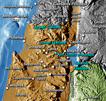 This image illustrates well this road as it comes—from west to east (left to right) from the Bet Netofa Valley, over the ridge by the olive grove, and begins its descent (east) through the brown fields and green groves to the Sea of Galilee.
It seems to me that Jesus and his followers may have used this road on a number of occasions as they traveled from Nazareth to Cana and from there to Magdala—on the shore of the Sea of Galilee. Once at Magdala they could turn north to Capernaum or south to Tiberias.
The photo was take 1 June.